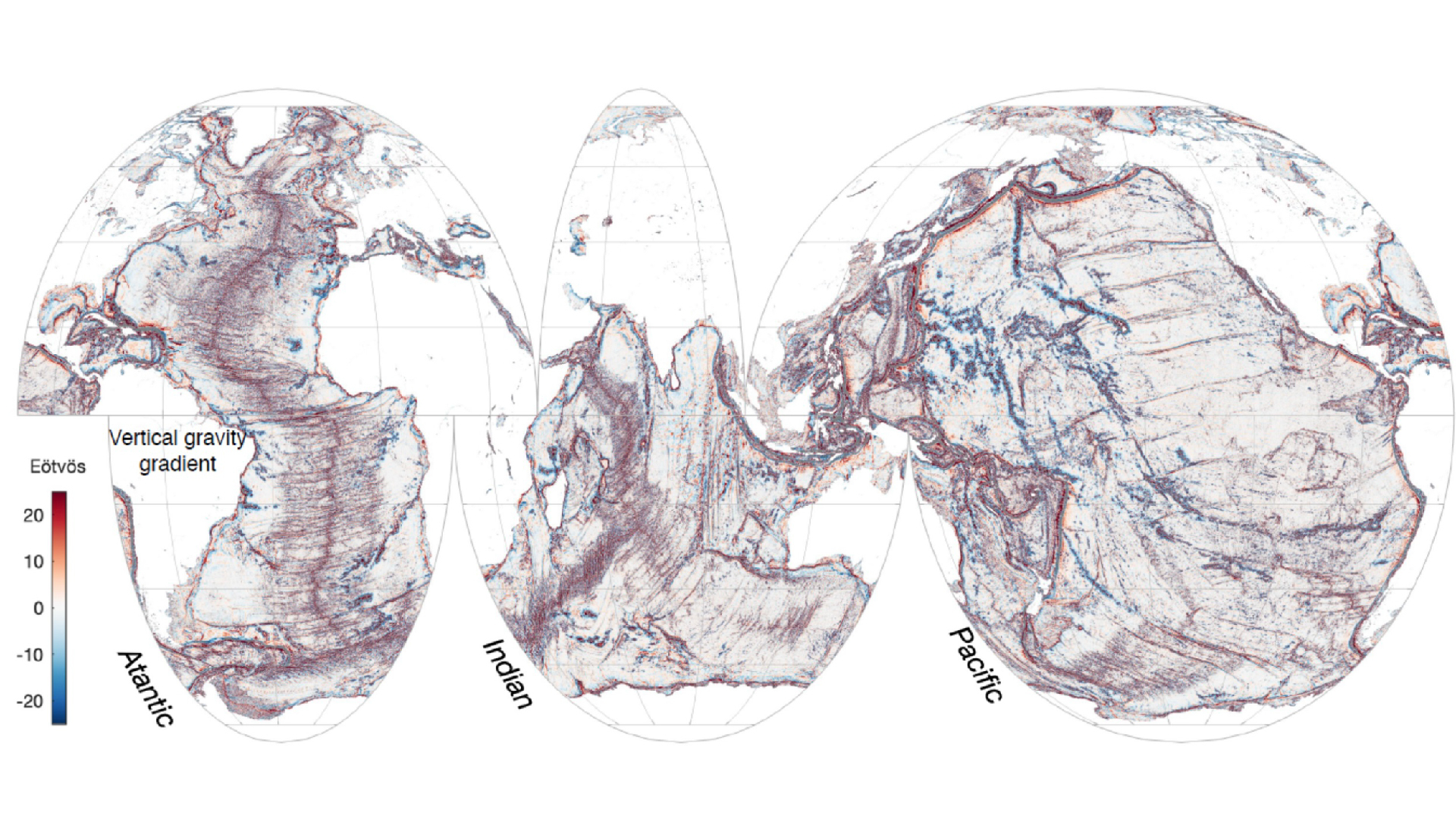
A new satellite has mapped Earth’s ocean floors in unprecedented detail, a new study reveals. .
The first year of measurements from NASA’s Surface Water and Ocean Topography (SWOT) satellite mission, launched in December 2022 and developed by NASA and France’s Centre National D’Etudes Spatiales, enabled researchers to study the boundaries between continents and identify underwater hills and volcanoes that are too small to be detected by earlier satellites.
“Finding these features will really push scientific developments forward, including tectonic theories,” study co-author Yao Yu, a physical geographer at Scripps Institution of Oceanography, told Live Science. The findings could provide new information about ocean currents, nutrient transport in seawater and the geologic history of Earth’s oceans.
With a 5-mile (8 kilometers) resolution and 21-day path covering most of the planet, just one year of data from SWOT gives a clearer picture of the ocean floor than 30 years of data collectively gathered by ships and older satellites, researchers said Dec. 12 in the journal Science.
To spot underwater features, SWOT measures the height of the ocean surface. Despite appearances, that surface is not flat, Yu said. The gravitational pull of underwater structures like hills and volcanoes causes water to pile atop those structures in spread-out lumps. Changes in the sea surface height therefore point to what lies deep beneath the surface.
The team focused on three types of underwater features: abyssal hills, small seamounts and continental margins. Abyssal hills — parallel ridges that are just hundreds of feet tall — are formed by the movements of tectonic plates. Using SWOT data, the team mapped individual hills and spotted a few places where the direction of the ridges changed, suggesting that at some point in Earth’s history, the tectonic plate that formed them changed the direction of its movement.
“I’m very surprised by the abyssal hills,” Yu said, because the researchers weren’t expecting to see so many hills in so little time.
Yu and her colleagues also studied seamounts, or underwater volcanoes, which affect ocean currents and often act as hotspots for biodiversity. Older satellites have mapped large seamounts, but the team spotted thousands of smaller, previously unknown seamounts less than 3,300 feet (1,000 meters) tall in the SWOT data.
The data helped the team further refine maps of tectonic boundaries and ocean currents near coastal areas. “We’re very interested in [continental margins] because the ocean currents and tides will bring nutrients and sediments from the land to the ocean and influence the biodiversity and ecology in the coastal area,” Yu said.
In the remainder of its planned three-year science mission, SWOT will continue to collect data on ocean currents, map the ocean floor and assess global freshwater availability throughout the year.
Article by:Source


