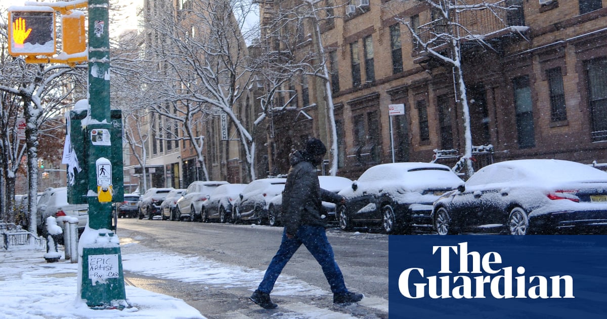
A strong snow and ice storm followed by brutally cold conditions will soon smack the eastern two-thirds of the United States as frigid air escapes the Arctic, plunging as far south as Florida, meteorologists forecast.
Starting Saturday, millions of people are going to be hit by moderate to heavy snow from Kansas City to Washington – including a high chance of at least 8in (20cm) of snow between central Kansas and Indiana – the National Weather Service warned Friday.
“It’s going to be a mess, a potential disaster,” said private meteorologist Ryan Maue. “This is something we haven’t seen in quite a while.”
National Weather Service meteorologist Alex Lamers said Friday that the potential for blizzard conditions is increasing, particularly in Kansas and neighboring portions of the Central Plains, and that wind gusts may reach 50mph at times.
As the storm moves out on Monday, hundreds of millions of people in the eastern two-thirds of the nation will be plunged into dangerous bone-chilling air and wind chills all week, government and private forecasters said.
Temperatures could be 12-25F (7-14C) colder than normal as the dreaded polar vortex stretches down from the high Arctic bringing chilly weather, they said.
“This could lead to the coldest January for the US since 2011,” Dan DePodwin, the AccuWeather Director of Forecast operations, said Friday.
The biggest drop below normal is likely to be centered over the Ohio valley, but significant unusual cold will extend southward all the way to the Gulf coast, said Danny Barandiaran, a meteorologist at the National Weather Service’s Climate Prediction Center.
Forecasts have moderated a bit from last week when some computer models envisioned the worst cold spell in decades. Now it’s unlikely many cold records will break, but it will still have a big impact on the country, Barandiaran said.
“The wind chills are going to be brutal,” said Jennifer Francis, a Woodwell Climate Research Institute climate scientist.
This double dose of nasty weather may be triggered in part by a fast-warming Arctic, serving as a not-so-gentle reminder that the climate crisis gooses weather extremes, even winter ones, said Francis and Judah Cohen, the seasonal forecast director at the private firm Atmospheric and Environmental Research.
The polar vortex, ultra-cold air spinning like a top 15-30 miles (24-48km) high, usually stays penned up above the North Pole. But sometimes it escapes or stretches down to the United States, Europe or Asia.
Cohen and colleagues have published several studies showing an increase in the polar vortex stretching or wandering. Cohen, Francis and others last month published a study that attributed these cold outbreaks partly to changes from an Arctic that’s warming four times faster than the rest of the globe.
The change in temperature and loss of Arctic sea ice make the jet stream – the river of air that moves storm fronts – wavier, allowing plunges of cold air to come south and extreme weather to stay put, Francis said.
What’s about to hit “is a really good example of these kinds of cases”, Francis said.
Article by:Source Associated Press


